Geography Lesson Plans for Teachers – Maps & Places

Explore printable geography lesson plans covering maps, continents, countries, landforms, and world cultures. Editable classroom resources for primary and middle school learners.

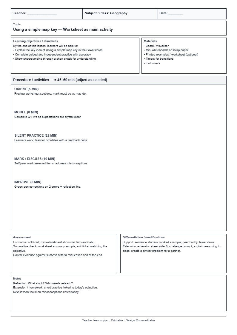
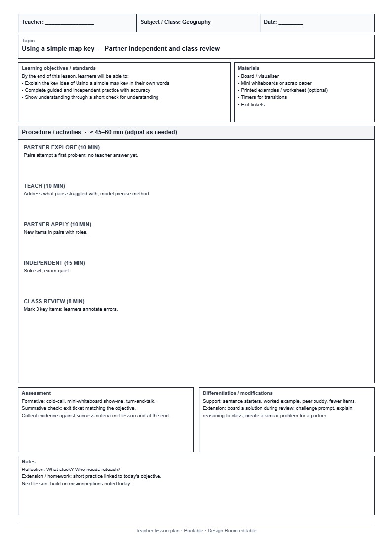
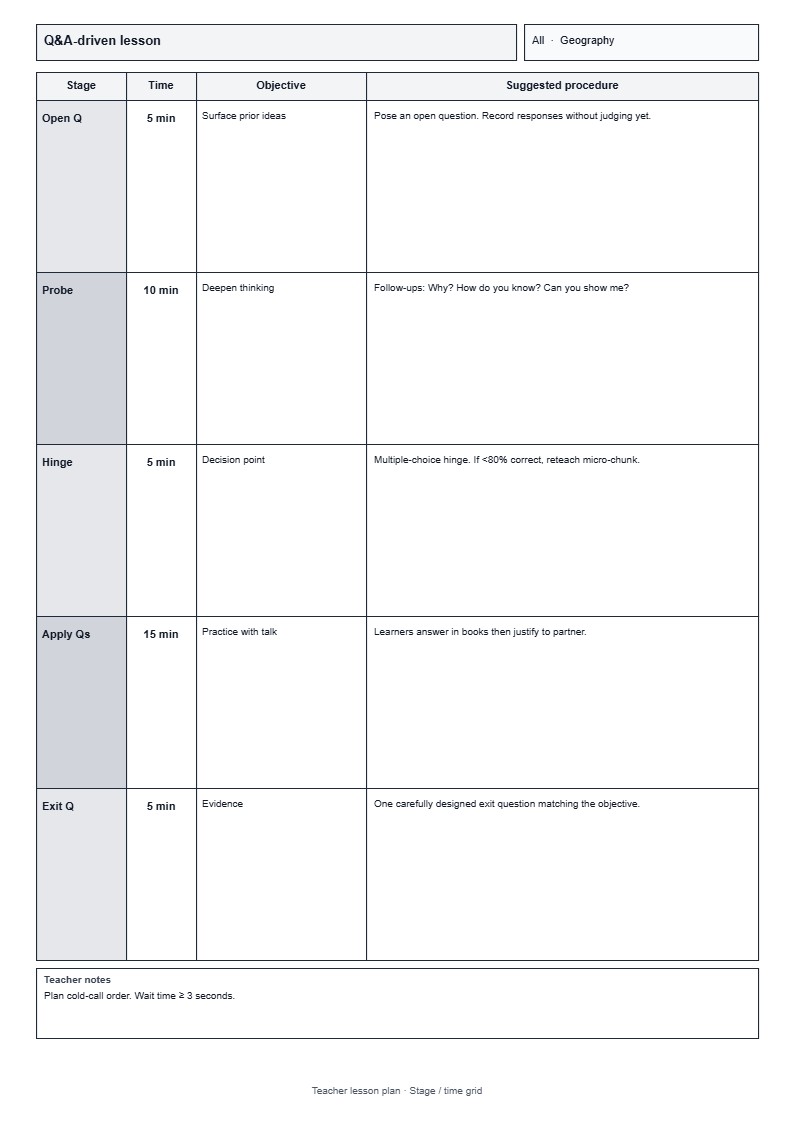
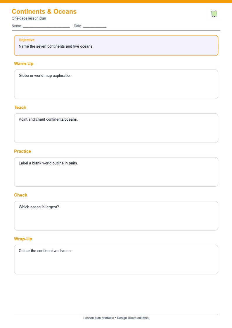
Geography lesson plans help students explore places, people, environments, landscapes, and the processes that shape the world around them. Topics can include maps, continents and countries, landforms, climate, weather, population, natural resources, settlements, oceans, environmental issues, and physical and human geography.

Geography lessons can combine explanations with maps, diagrams, data, questions, research activities, and practical exercises. Printable geography lesson plans can be paired with printable worksheets and classroom activities so students can practise skills such as reading maps, interpreting information, comparing places, and explaining geographical processes. Explore related science lesson plans, biology lesson plans, classroom posters, and the full lesson plans hub.

Help & Guidance

Frequently Asked Questions

Common questions answered for downloading and using our premium printable designs.

Topics can include maps, countries, continents, landforms, climate, weather, population, resources, settlements, oceans, and environmental issues.
Physical geography focuses on natural features and processes such as mountains, rivers, climate, weather, and ecosystems.
Human geography examines people and their relationships with places, including population, settlements, migration, and economic activities.
Yes. Maps can be used to teach location, direction, scale, physical features, political boundaries, and spatial relationships.
Students can develop map-reading, observation, data interpretation, research, comparison, and geographical reasoning skills.
Yes. Worksheets can provide map activities, questions, data exercises, diagrams, and written tasks that reinforce the lesson.